


Description
ITINERARY
DAY 1: SANTIAGO – CB 3600 MSNM.
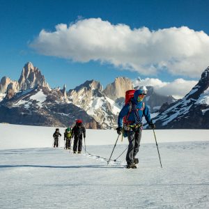
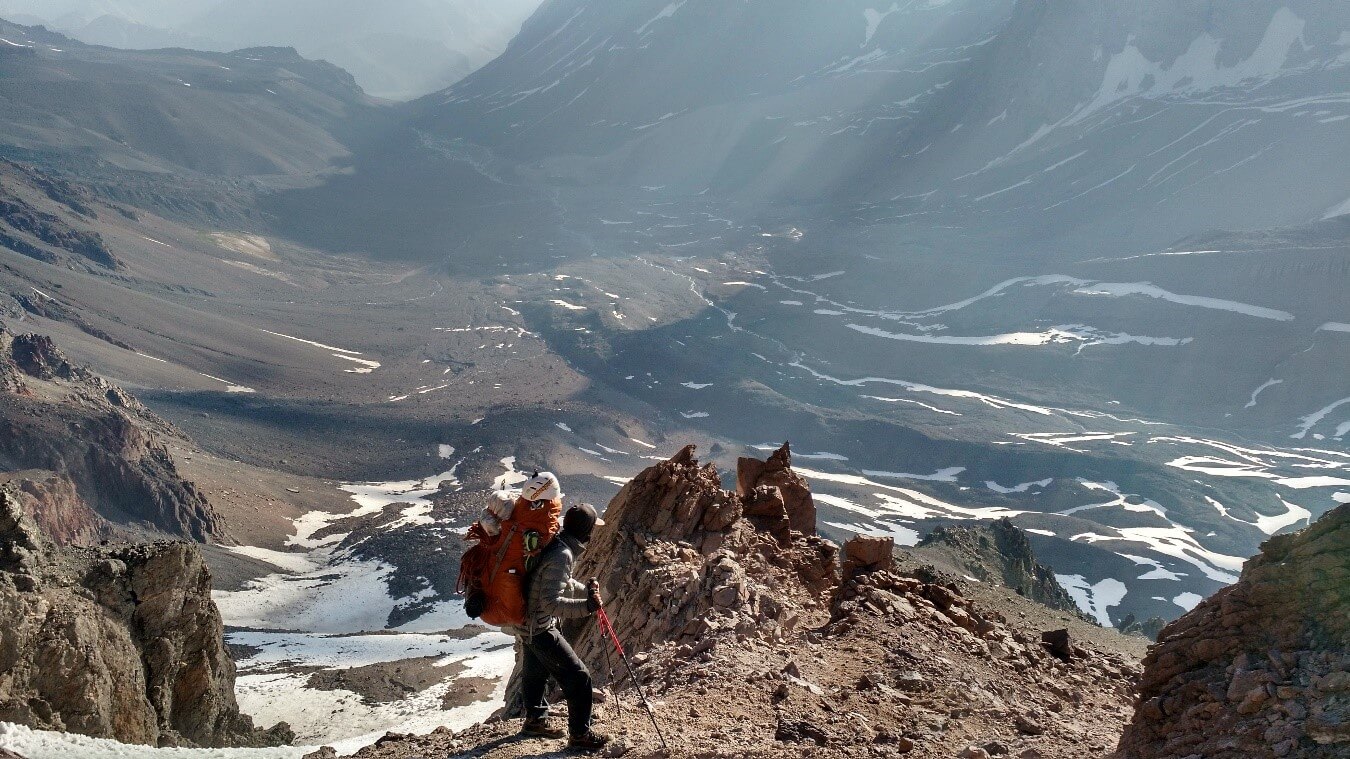
From the Cabrerio parking lot, you should head towards La Engorda Valley, skirting the slopes of Morro Escondido, a promontory descending from the lava flows of San José.
It is approximately 10 km to the Marmolejo Valley, it is recommended to reach the foot of a large scree, for this you must cross at least 3 streams, the first two in the Engorda Valley and head towards the canyon that is further north, once you have crossed the first two streams you must follow a shy path that in its first part is not very visible but as you gain height the trail becomes more evident.
You can get water at a sector called Aguas Claras, a 4-hour walk from this sector leads to the Marmolejo Valley, a place where you cross small tributaries that do not pose any major difficulties.
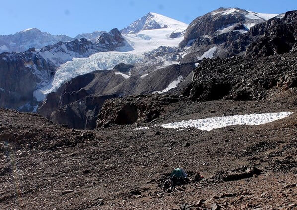
The most suitable location for BC must be found. The end of the valley next to the large embankment is recommended, but in dry years, water is not available.
Total tour time 5 to 6 hours.
DAY 2: CB 3600 MSNM – C1 4100 MSNM.
At the bottom of the Marmolejo Valley we can see a barrier of mountains, these are the boundary between the Marmolejo Valley and the Yeso Valley.
When you begin the ascent to C1, the trail is very diffuse in some sections. Here you must find the best route and advance towards a small pass. Loose scree and small stones are the norm for this section.
This scree has a gradient of over 300 meters and can be negotiated in just over 3 hours.
Once at the small pass, the route turns to the right (east). Do not follow the trail that goes down; this is part of the route through the Pulgar pass.
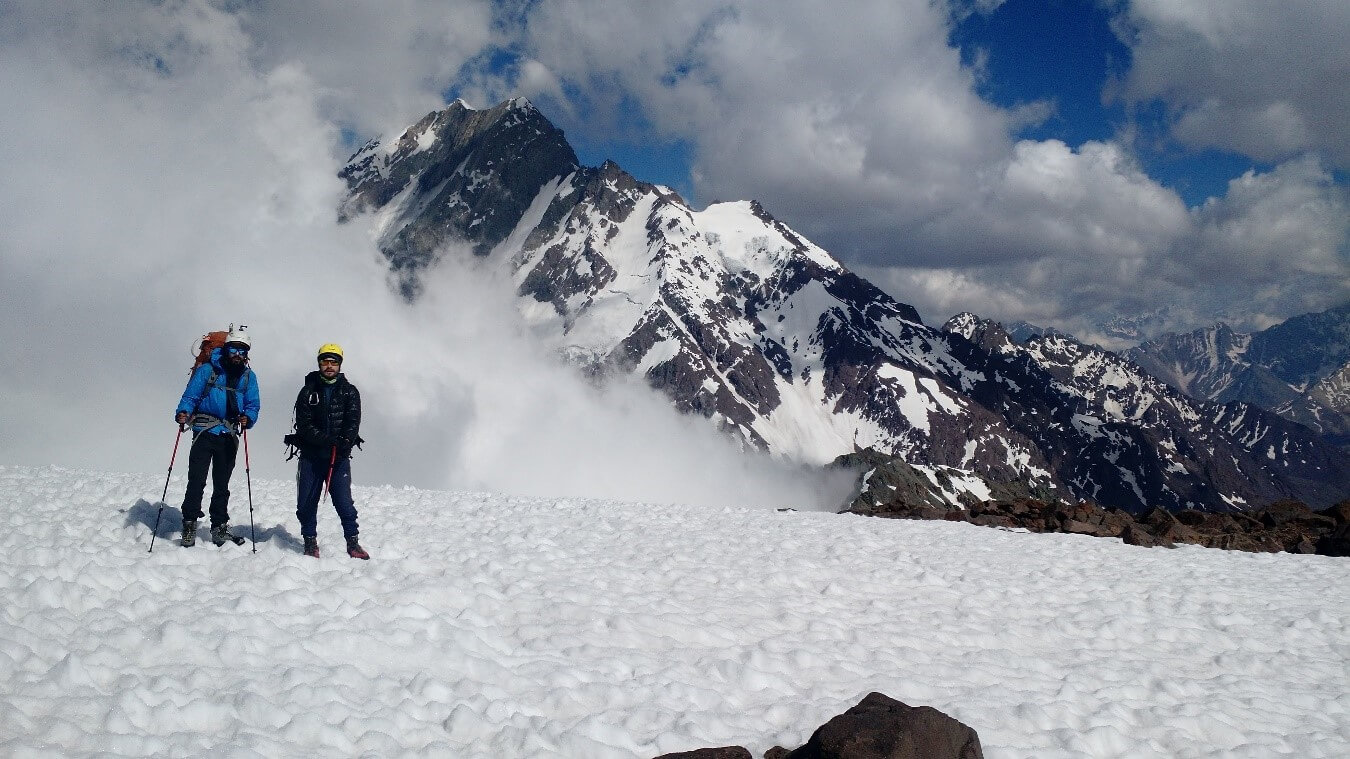
In a total of 5 hours you reach a plateau where it is possible to see a large number of stone walls. This is C1 4100. Here it is possible to stock up on water in the afternoons depending on the conditions of the glacier.
Here we can have the first view of the massif.
DAY 3: C1 – C2 – C1.
Carrying equipment to C2, crampons, food, gases, etc.
Acclimatization and rest for the following day at higher altitude.
DAY 4: C1 – C2.
The section between both camps can take 4 hours. This section is located at 4,900 meters above sea level and there is another optional section to the middle of the glacier at 5,200 meters above sea level.
You follow a spine that culminates at the beginning of the Marmolejo Glacier. The trail is marked and follows a fairly obvious route.
DAY 5: REST AND ACCLIMATIZATION.
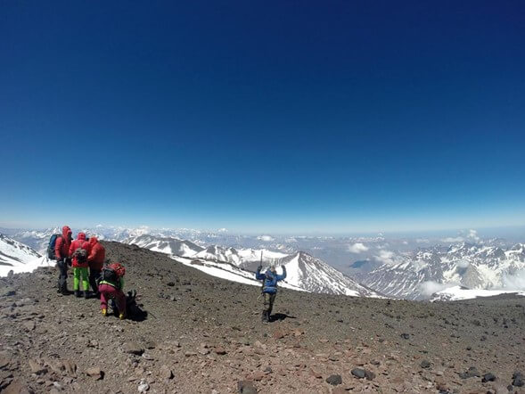
DAY 6: SUMMIT ATTACK – C2.
Leaving C2 at 4900 meters above sea level, you must cross the glacier, which is relatively clean.
The crevasses are concentrated mainly on the sides of the glacier, and it's very difficult to fall into one unless you lose your direction of travel. The gradient from C2 to the glacier outlet is 400 meters and extends for 2 kilometers. The gradient in this section doesn't exceed 20°.
DAY 7: C2 – CB.
On the way back to base camp, you should follow the same route you used to ascend. Be careful not to get tired during the hauling process, as it's not uncommon to fall in this area. Pay close attention to where you're walking.
DAY 8: CB – SANTIAGO.
Recommendations:
- High mountain equipment and use of crampons, preferably double boots.
- The temperatures in this massif are extreme, so you should be prepared for this.
- The glacier, depending on the year, whether it is dry or rainy will give us an idea of its condition. If the conditions are very steep, searching for the best pass will take us a few more hours.
- The preparation and prior nutrition must be in accordance with the objective.
Prize: 1,550,000
Minimum 4 passengers